INL logo

US Reservoir Floating PV Potential

The capacity of potential FPV was done using the following criteria with the given rationale:

  1. The waterbody must not have a monthly average low in any month below -15 degrees C.
    • The potential ice flows and heavy freeze thaw cycles associated with very cold locations was identified as being incompatible with FPV development.
  2. The waterbody must not be part of the USACE maintained navigable waterway.
    • The large wakes caused by freight shipping vessels were identified as being incompatible with FPV development.
  3. NHD waterbody must be identified as belonging to the US Army Corps of Engineers (USACE), the US Bureau of Reclamation (USBR), or to a FERC licensed hydropower project.
    • These waterbodies were identified in scope of project as the desired study population due to the known regulatory regimes and the high potential for co-benefits of FPV development such as Hydro/FPV hybridization.
  4. Must have an estimated depth of at least 1 meter.
    • Not deep enough to support FPV development.
  5. Area must not be close enough to an inlet or outlet such that surface currents may exceed 2 m/s.
    • 2 m/s identified through discussion with developers as the highest current that FPV floats and moorings could be engineered to withstand.
  6. Area must be in a location that will still hold water at low waterbody volumes or be on a waterbody whose bathymetry is flat enough such that floats may be designed to be grounded or refloated.
    • FPV developments can be designed to survive repeated grounding if the underlying waterbody floor is flat enough, if the waterbody floor is steep then FPV must be located where the waterbody will not become dry.
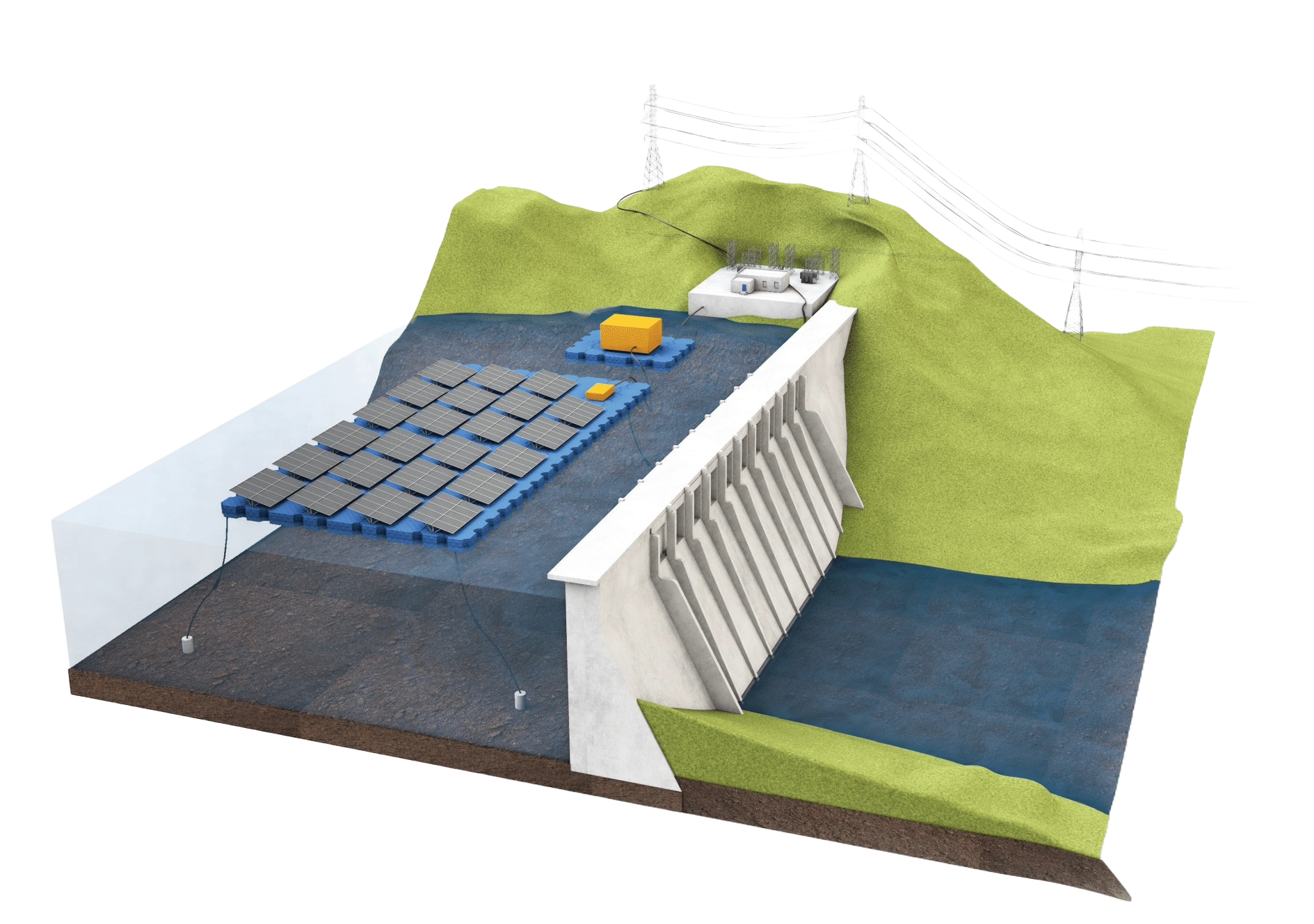
  7. Area must be at least 50m away from a dam.
    • Areas close to dams are likelier to be high current, either due to outflows or spillways, and also may need space for maintenance.

FERC, USACE, and USBR Reservoir Locations

Based on the above criteria, the resulting 849 reservoirs are shown in the map. Some reservoirs did not have a name and have been given an ID number. You can select different parameters for the basis of the sizing of the point locations.

Detailed Reservoir Information

Select a reservoir to see more information.

Select Reservoir

Owner/Regulator:

Capacity: (MWDC)

Area: (km2)

Developable area: (km2)

Developable %:

Depth: (m)

Latitude:

Longitude:

FPV Potential by Owner/Regulator

The aggregation of capacity, area, developable area, developable percent, and depth of all the reservoirs is shown in the following bar plots. Note that developable percent and depth are the mean value.